Remote Wireless Sensing and Precision Agriculture
2020, May 03
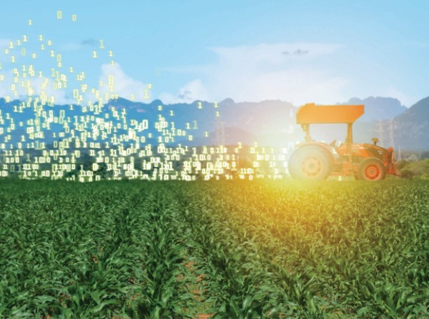
Feeding the World with Microwaves
How Remote and Wireless Sensing Can Help Precision Agriculture
Authors: Valentina Palazzi, Stefania Bonafoni, Federico Alimenti, Luca Roselli url: nxtbook.com/ieee/
IEEE Microwave Magazine - December 2019
Taking measurements of reflected and emitted radiation from soil or plant materials.
It involves the visible (VIS) (0.4-0.7 μm), near-infrared (NIR)(0.7-1.1μm), shortwave-infrared (SWIR)(1.1-2.5μm), and thermal-infrared (TIR)(7-14μm) spectral bands.
Platforms include satellites, aircraft, and UAVs.
Measurements made with tractors and hand-held sensors are known as proximal sensing.
Spaceborne and UAV/airborne sensors.
[Figure 1. A schematic overview of the different ways to extract spatial information in precision agriculture with remote sensing techniques]
-
Soil-Sampling - Soil Conductivity -
Early Weed Dectection UAV RGB Hyperspectral -
Nutrient Status Assessment Satellite & UAV Multrispectral -
Pathogen Detection UAV Hyperspectral & Thermal -
Drought Stress Detection Satellite & UAV Thermal -
Yield Prediction Satellite & UAV Multispectral -
Detection of Lodging Satellite & UAV RGB -
Yield Map